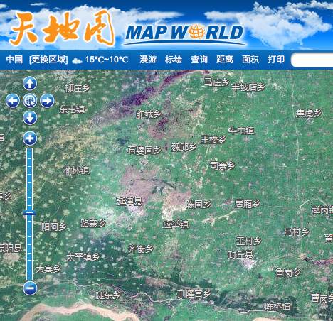
China’s State Bureau of Surveying and Mapping today released their long-anticipated web-based mapping tool, Map World (§©Âú∞Âõæ), Reuters reports. it’s located at www.tianditu.cn/ and you can give it a go right now; it’s in Chinese only but the controls are intuitive enough.
Just some very brief observations, as I have a flight to catch:
- The 2D mapping tool, which lets you toggle between maps and satellite imagery, is available both for Mac and Windows browsers, and requires no additional plugins. Mapping tiles loaded quite responsively for me.
- Imagery of Shanghai Expo 2010
and Beijing’s Tiananmen Squareis more recent than Google’s imagery. Imagery of Kashgar is older than Google’s imagery. [Update 2010-10-26: As William Long has pointed out, imagery of Tiananmen Square is older than Google’s — identical to the DigitalGlobe image from Feb 9, 2007 in Google Earth’s historical archive.] - Unlike in Google Maps, Map World’s projection squashes imagery and maps in the north-south direction. The Forbidden City is distinctly more square, and round buildings in Shanghai Expo are portrayed as oval.
- The 3D viewing tool requires you to download and run “GeoGloberuntime.exe” as a web plug-in, so obviously it is a Windows only tool. Once installed, it promptly crashed my copy of Internet Explorer 9 upon use, so I can’t report back more right now. I couldn’t find any mention of a GeoGlobe runtime online, so I’m not sure if this is from a third-party vendor or home-grown. (In any case, beware installing software from a Chinese government agency website).
- The maximum resolution for imagery in China (the only place I went looking) is lower than in Google Earth. I briefly went searching for censored content: Near the “secret” underground submarine base in Shandong province, tiles above a certain resolution simply don’t load for me. I can’t yet tell if this is the standard way of censoring Map World.
- The 2D web mapping tool comes with area and distance calculators, as well as a feature editor. These are accessible via the links along the tool bar running above the map.
Overall, Map World feels quite robust, far more so than the France’s GeoPortail and India’s Bhuvan at launch. If you do get the 3D plugin to work over the weekend, please let me know.