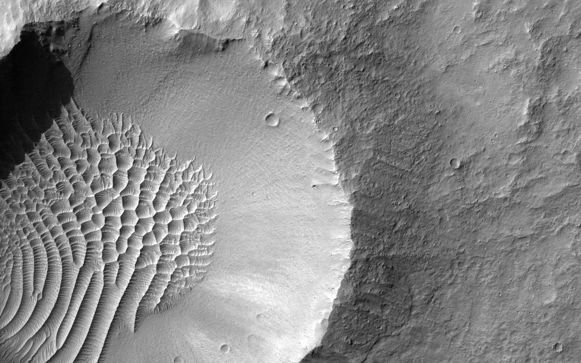
I have been spending some far too much time this past day looking intently at at the absolutely phenomenal sub-meter resolution images taken by the HiRES camera on the Mars Reconnaissance Orbiter, which are freely available for download. The full-resolution JPEG2000 files are whoppers: Some of them easily scale 250MB and half a gigapixel, so if you need an excuse to buy a new computer, this is it.
If your computer can handle them, then do spend some time exploring the library of images — it is the most impressive thing I’ve come across this year, and I’ve been making desktop backgrounds of particularly striking imagery all morning. If you’ve got a 1920×1200 screen, here are some examples (click to download):
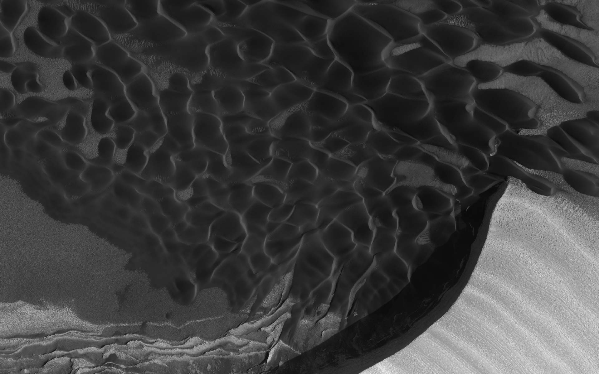
(Aside: You won’t see craters with dunes in them on the Moon because the moon has no atmosphere.)
I love it when publicly funded science makes the results available to all. And I cannot wait until this imagery shows up on a virtual globe, with DEMs — will there be a proper Google Mars, or will NASA World Wind have the plugin? (Until then, might the Maps-based Google Mars not make for a good georeferencing solution for the HiRISE image metadata?)
(BTW, Mars has a new mystery. Is this where the Martians are biding their time?:-)
Somewhere I remember seeing a WMS URL for a JPL WMS server of the new HiRISE imagery.
Unless I am thinking wrong… I should have it somewhere in a World Wind folder.
The program 3DEM can automatically download Martian MOLA DEMs. If the HiRise data were available in georeferenced, orthorectified format, it should be possible to create 3D versions of those images by overlaying them on top of the Martian terrain. I’ve looked, but can’t find whether any of the HiRise images are available in that format.