- Virtual globes at AGU: Virtual globes will be much in evidence at the American Geophysical Union 2008 Fall Meeting on 15-19 December in San Francisco. The topic now has its very own mini website, where heaps of interesting presentations are promised, including KML old hands Valery Hronusov, Richard Treves, John Bailey, Google’s Sean Askay, Thematic Mapping Blog‘s Bjørn Sandvik, Google’s technical writer Josie Wernecke and Google’s Michael Weiss-Malik.
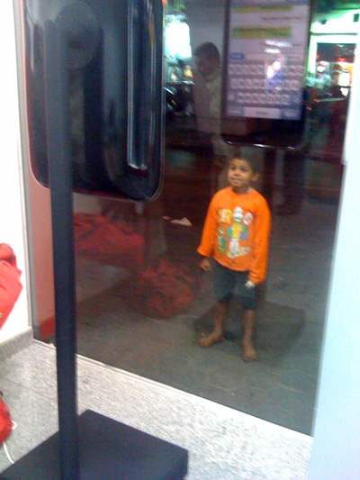
- Nokia sells GPS-disabled phone in Egypt: Nokia has reversed its earlier decision not to sell GPS-disabled versions of its phones with the introduction of the N96 in Egypt this week, minus GPS. Egyptians, enterprising as they are in circumventing silly bureaucratic regulations, have already figured out that the on-chip GPS functionality can be restored with a firmware upgrade, according to this comment. Meanwhile, banners are announcing the imminent arrival of the iPhone later this month. Even the street urchins are transfixed (taken with my iPhone from inside the store):
- Geobrowser unplugged: An art installation at the Singapore Biennale by Thai artist Wit Pimkanchanapong consists of a huge walkable satellite map of the country, onto which visitors can physically attach stickies with notes. Looks like fun.
- iPhone geoapp review: iPhone apps using the built-in GPS functionality are a dime a dozen these days. Mashable looks at 15 free ones.
- OSM for iPhone: OpenStreetMap’s open-source mapping project now has an easy way for you to contribute if you have an iPhone. Just buy ($1) OSMTrack by Dmitri Toropov, let it run, and then upload your track directly to the servers. One drawback to using the iPhone presents itself, though: Running the app non-stop results in a battery lifespan of just 3 hours. There are reasons to own a dedicated GPS device yet. (Via Very Spatial)
- Future UI: Make brings us news of yet another Minority Report-esque user interface. Microsoft Research’s Andy Wilson has created a really clever system where you point a webcam at your keyboard and then make shapes with your hands over it; you can do some very nifty navigating on a virtual globe:
2 thoughts on “Links: Virtual globes at AGU, OSM for iPhone”
Comments are closed.
he is a “street urchin” because he is of color?
sort of like you are “euro trash” because you are from europe?
He’s not a street urchin because he looks Egyptian – after all we’re in Egypt. He’s a street urchin because he has no shoes on.
And I’m definitely eurotrash.