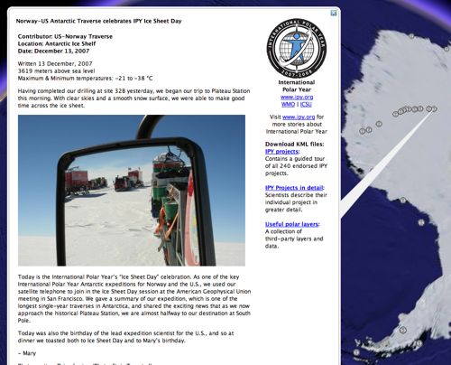
The most recent imagery update for Google Earth now includes the recently released 15-meter resolution LIMA imagery for much of Antarctica. Antarctica is looking pretty empty right now when it comes to default layers, but if you download the International Polar Year website’s KML layer, you can get daily updated georeferenced posts from scientific expeditions on Antarctica, including from the Norway-US Antarctic Traverse, which is currently on its way to the South Pole. Soon the layer will also include georeferenced posts by the research ship Polarstern, so keep that layer handy!