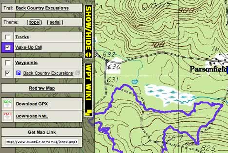
Some people make it all look so easy. Crankfire is a website for the Connecticut mountain biking community, run by Nathan. It contains a library of US biking trails with associated maps, photos and metadata. Now Nathan has added KML and GPX output to every trail map — just click on the show/hide bar to the left of the map. BTW, there is some really nifty DIY map coding here, incorporating layers, map permalinks and different dynamically loaded map types, all from within the browser interface. That’s big-league mapping on a small community site.
Hey it’s cool, to simplify that kind of website, I’m creating a Drupal module as it can be seen on my website.
Cheers
Found this site as a result of googling myself .