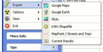
I just noticed that the latest version of Windows photo geocoding tool RoboGEO, out a few days ago, supports exporting to ESRI’s Shapefile format and even to Microsoft’s MapPoint. That’s in addition to Google Earth, Maps, and Flickr.
I wonder if more Google-centric applications will also start to accommodate ESRI ArcGIS Explorer’s native file formats in anticipation of that geobrowser’s release.